
Region
Santa Barbara State Street
Plan State Street, dining and the nearby waterfront as one Santa Barbara visit. Compare downtown stays with the rest of your coastal route.
- Guides
- 2
- Checked places
- 2
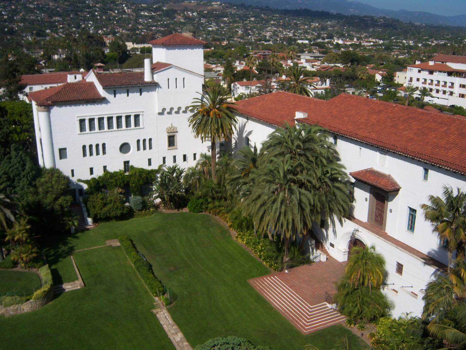
Image: Santa Barbara County Courthouse | Photo by Konrad Summers on Wikimedia Commons | CC BY-SA 2.0
Where to stay
Compare places to stay in downtown Santa Barbara
Compare Santa Barbara lodging prices for your dates.
This is a partner hotel map from Stay22, not an official booking desk. It shows live third-party availability around downtown Santa Barbara and the waterfront; if you book through it we may earn a commission at no extra cost to you. Confirm exact location, dates, and cancellation terms with the property before booking.
Map
Map of Santa Barbara State Street
The map places Santa Barbara State Street and its checked places in California; use it to compare travel distances between the coast, wine country, islands, mountains, and desert.
Loading the visitor map…You can also choose an area from the list below.
California regions
1SausalitoGolden Gate ferry day-trip town with a Bridgeway waterfront, Fort Baker, and the Army Corps Bay Model.2YountvilleDestination-dining base in the Napa Valley, home to The French Laundry and Domaine Chandon.3St. Helena / CalistogaUpvalley wine-country towns with historic wineries, a castle, spas, and the Old Faithful geyser.4South Lake TahoeTwo-season lake and ski base on the California shore, with Emerald Bay and Heavenly Mountain Resort.5MendocinoNorth Coast bucket-list village wrapped by headlands, with a lighthouse and redwood-canyon parks.6Cannery RowAquarium and Steinbeck waterfront corridor along Monterey Bay, from Cannery Row to Fisherman's Wharf.7CarmelTiny coastal town of galleries and inns beside Carmel Beach, the Carmel Mission, and Point Lobos.8Big SurThe cliff-hugging Highway 1 drive past McWay Falls, redwood state parks, and Nepenthe.9Santa BarbaraDowntown State Street and the waterfront, with the Old Mission, Stearns Wharf, and the courthouse.10Santa Monica / VeniceLA coastal neighborhoods from the Santa Monica Pier and Pacific Park to the Venice boardwalk.11AvalonFerry-and-island escape to Avalon, with the Casino landmark, Wrigley Garden, and Descanso Beach.12La Jolla CoveSan Diego coastal cove for snorkeling and sea lions, near Birch Aquarium and Torrey Pines.13Palm SpringsMid-century desert-resort core with the Aerial Tramway, Art Museum, and design shopping.
A practical plan for this area
Choose lower State Street for a compact town-and-waterfront overnight, comparing Hotel Californian with the actual meal locations you want. Keep Stearns Wharf and one downtown stretch in the same day instead of immediately adding another coastal drive.
Getting there and back
Go to the hotel or parking location first, then start the walk to the waterfront. For a wider coast trip, check the next driving leg before fixing dinner time. Keep the station or car pickup for departure in the plan.
Before you book
Check the hotel’s parking and total charges, and confirm any reserved wharf activity separately. A waterfront walk needs less advance commitment than a boat departure or a particular dinner table.
If plans change
If wind or rain makes the wharf less appealing, shorten that part and keep the downtown meal. If you are arriving late, move the waterfront visit to the morning instead of rushing it before check-in.
Plan reviewed:
Guides
California planning guides
Planning categories
Hotels, restaurants and things to do in Santa Barbara State Street
Checked visitor places
Places to visit
Spanish Revival luxury hotelHotel CalifornianA Spanish Colonial Revival hotel near lower State Street and the Funk Zone in Santa Barbara, walkable to Stearns Wharf and a strong anchor for the southern end of a Highway 1 drive.Historic wharfStearns WharfCalifornia's oldest working wooden wharf, extending from the foot of State Street into the harbor with seafood restaurants, a sea center, and views back to the Santa Ynez mountains.