State

California

Choose a California coast, wine-country town, island or inland break. Start with the time and transport available before combining regions.

Guides
4
Checked places
0

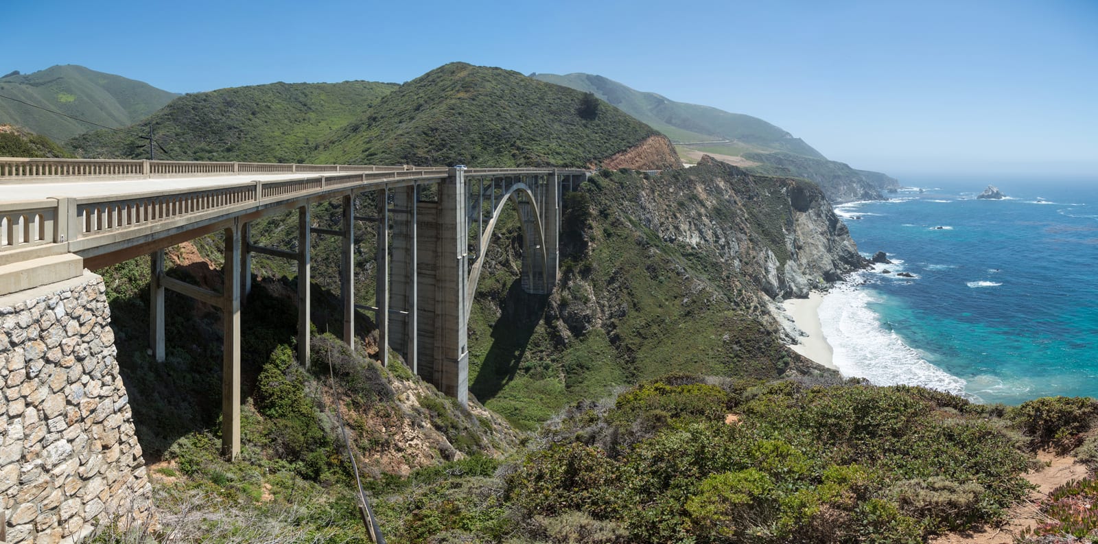
Image: Bixby Creek Bridge, Big Sur | Photo by Diliff on Wikimedia Commons | CC BY-SA 3.0

Where to stay

Compare places to stay around California

Compare current accommodation prices around California for your dates.

Partner map by Stay22. We may earn a commission on bookings at no extra cost to you. Prices and availability depend on your dates; check the property’s location and cancellation terms before booking.

Bixby Creek Bridge on Highway 1 above the Pacific coastline in Big Sur, California · Photo by Diliff on Wikimedia Commons · CC BY-SA 3.0

The map loads from Stay22 only when you choose to open it.

Map

Map of California

The map places California and its checked places in California; use it to compare travel distances between the coast, wine country, islands, mountains, and desert.

Loading the visitor map…You can also choose an area from the list below.

Map of CaliforniaCompare this area with California's coast, wine country, islands, mountains, and desert.

Guides

California planning guides

Region decisionNorthern vs Southern California: which coast to plan your first trip aroundCalifornia is too big to see in one trip, so pick a region and base, not a statewide loop. The Northern California coast — Sausalito, Mendocino, Monterey, Carmel, and Big Sur — is cooler, foggier, and more about dramatic coastline and redwoods. The Southern California coast — Santa Barbara, Santa Monica, La Jolla, and Catalina — is warmer, more about beaches and cities, and easier with kids. Palm Springs desert and Lake Tahoe are add-ons that pull you inland. Choose by weather, driving tolerance, and whether you want scenery or beach time.Bixby Creek Bridge on Highway 1 above the Pacific coastline in Big Sur, CaliforniaCoast route plannerDriving Highway 1: Monterey, Big Sur, and the coast south to Santa BarbaraPlan the Monterey-to-Santa Barbara coast as a slow scenic trip, ideally north to south for coast-side pullouts. Checked October 10, 2026: Caltrans lists one-way controls at Mud Creek on weekday mornings through November 13 and at Rocky Creek Bridge around the clock through November 30. Check the latest bulletin for the whole route before driving. Checked October 23, 2026: State Parks lists a partial reopening from October 16 for day use, the campground, selected trails and Big Sur Lodge; several named trails remain closed. Check current park and road access and confirm lodge availability before travelling or booking. Compare Monterey or Carmel with an in-park stay only after current park and lodge access is confirmed for your dates; fuel up before entering the corridor and download offline maps.Vineyard rows and a weathered barn in the Napa Valley near Yountville, CaliforniaWine-country base plannerWhere to base in Napa wine country: Yountville vs St Helena and CalistogaChoose Yountville for a village evening with dinner close to your hotel; compare St. Helena for a Beringer-focused visit or Calistoga for an up-valley stay. Reserve the experience that determines your dates, arrange transport after tastings, then compare the full room cost. No town is automatically cheaper.Family coast plannerCalifornia coast with kids: aquariums, piers, and easy beach daysThe kid-friendly California coast is built from three things: two major aquariums (Monterey Bay in the north, Birch at Scripps in the south), piers for rides or waterfront time (Santa Monica's Pacific Park and Santa Barbara's Stearns Wharf), and easy sea-life spots like La Jolla Cove, Old Fisherman's Wharf, and Catalina's Descanso Beach. Pick the region first, then anchor each day on one aquarium or pier and keep the beach loose. Budget the admissions — Monterey Bay is about $65 adult and $50 for ages 5–17 as of 2026, with children four and under free — and book aquariums online to smooth entry.

Curated events

What's on in California